I was sent to the Leasowe Castle Hotel on the north Wirral coast for bollocksy management training: a predictably imprecise and verbose exposition of unfathomably muddled thinking. On previous visits I became very interested in the sea wall, a large sloping concrete embankment that protects the low-lying areas of the north Wirral from flooding by large waves at high tides.
I was very pleased to find in Proc. Instn Civ. Engrs (Proceedings of the Institute of Civil Engineers) a delightful article documenting fully the history of the sea wall and its rebuilding to the current structure.
At low tide I visited the wall with the paper and have verified first hand and photographed most of the features described in the paper. My findings and photographs follow.
The toe bean in Phase I, with concrete cells to the landward side and the apron to the seaward side.

Concrete cells in the upper lower part of Phase I showing the T-shape ‘special’.
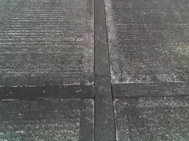
Centre of a cruciform unit in Phase I showing considerable erosion where the vertical arm meets the horizontal arm.
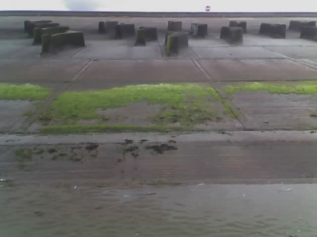
Veiw of Phase I showing the partly exposed apron, the toe beam, the lower two cells, concrete wave breaks. The horizon is the top of the curved wave wall.
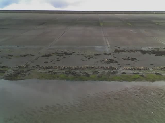
A view of Phase I from the beach.

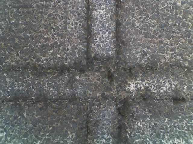
The centre of a cruciform unit in Phase I.

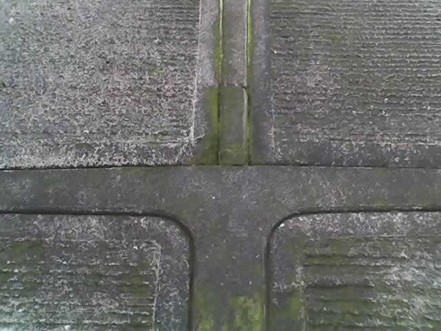
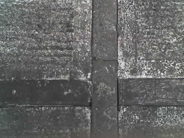
In Phase I the top of a curved T-unit meets a T-shaped ‘special’.

Zoom out of 1751 showing the bottom of the curved T-unit, the T-shaped ‘special’, and the top of a cruciform unit.
A curved T-shaped unit in Phase I. Above are concrete cells that have no bounding pre-cast units.
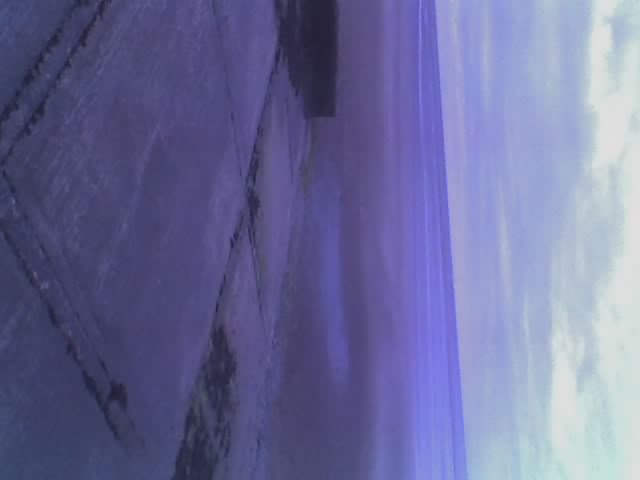
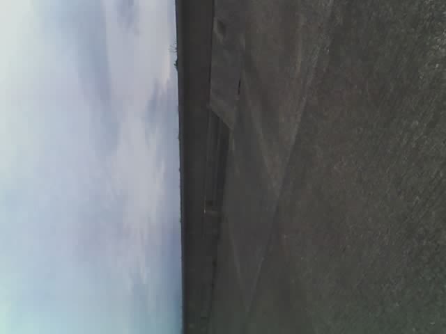
View up a slipway in Phase I.

The wave wall in Phase I is adjacent to the service road, but in Phase II there is a row of concrete cells between the wave wall and the service road. There is no noticeable difference in the construction of the wave walls in the different Phases.
The concrete beam joining the service road to the uppermost cell has a sloped shape in Phase II.
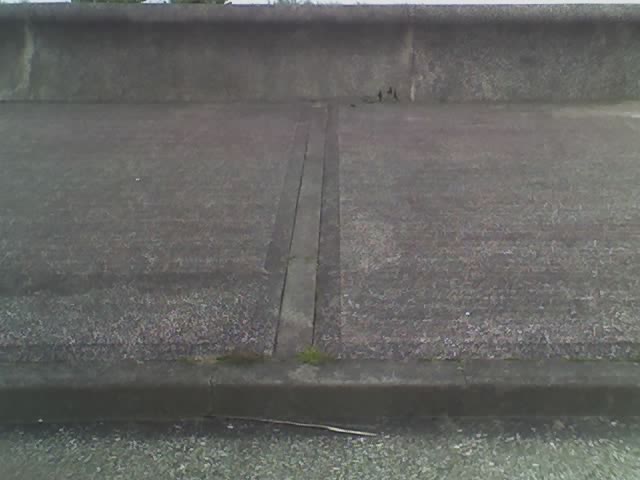
The row of concrete cells between the service road and the wave wall in Phase II. The concrete cells are bounded by concrete kerb stones.

View from the top of the wall of the uppermost concrete cells in Phase I. They adjoin eachother and are not bounded by concrete kerb stones.
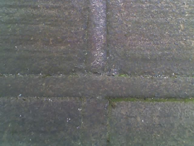
The uppermost concrete cells in Phase II are bounded by concrete kerb stones. The use of concrete kerb stones creates many joints, and erosion is apparent at these.

?

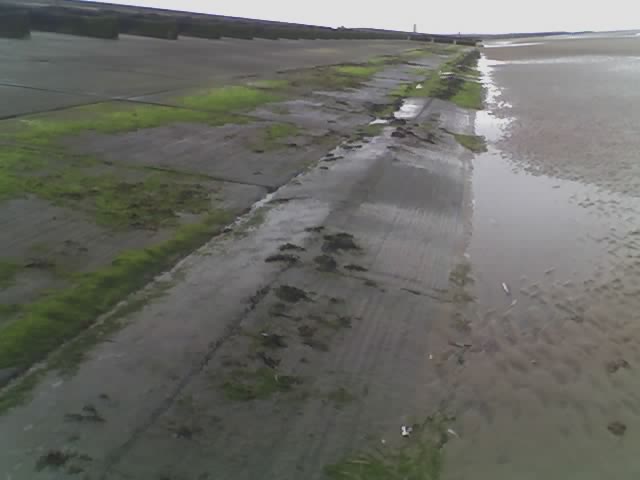
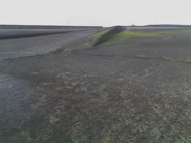
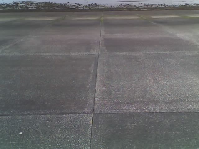
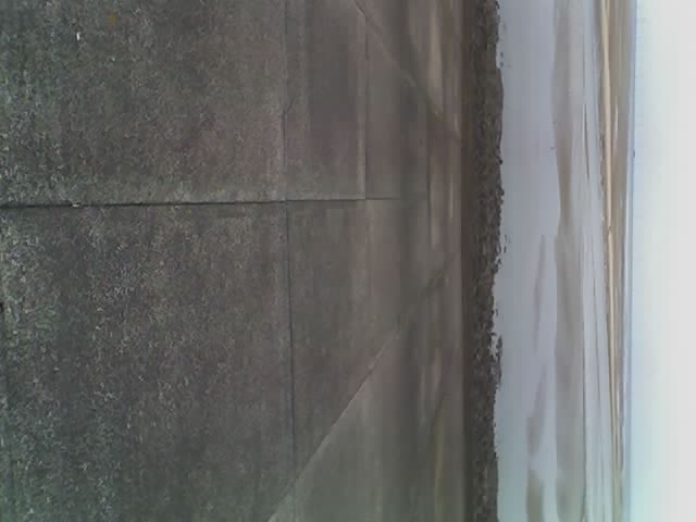
View of Phase II. Seaweed has grown on the embankment but only up to a certain level. Strikingly, this level is constant along the embankment and the boundary is very straight.
The aprom in Phase II is more exposed than that of Phase I. There is also debris from the earlier embankments.

A joint in the toe beam.
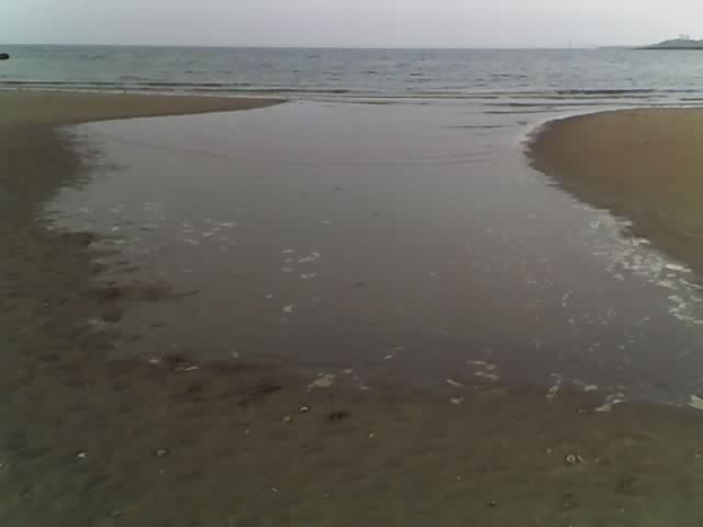
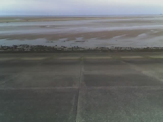
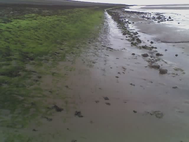
The beach is very shallow meaning that the tide comes in very quickly. The beach is also rather uneaven meaning that as the tide comes in it forms islands, as on the left and the right above.